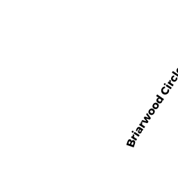
14 BRIARWOOD CIRCLE
Owner Information
O'BRIEN MICHAEL L & MARYBETH
14 BRIARWOOD CIRCLE
NORTH EASTON, MA 02356


Property Details
14 BRIARWOOD CIRCLE is classified as a Single Family Residential (Colonial).
The primary structure on this property was built in 1982. There are 6,034ft2 of built area within this property. There is 2,656ft2 of residential/living space within this property. This property is listed as having 8 rooms.
14 BRIARWOOD CIRCLE is valued at $593,600. The land is valued at $278,400 and the structures are valued at $310,900. There is an additional valuation of $4,300 on this property.
This property is in Zone RES. Confirm with local Zoning Board authorities to ensure there are no overlays or other easements on this property.
The most recent deed for 14 BRIARWOOD CIRCLE is recorded at the local registrar in Book 16836, Page 0247. 14 BRIARWOOD CIRCLE was last sold on Friday, June 1, 2007 for $510,000.
Assessment data from fiscal year 2022.
Flood Data
According to the FEMA National Flood Hazard Layer, this property does not appear to be in a flood zone. It may also be in an area not yet reviewed. Nonetheless, confirm this information prior to taking any action.
To view the flood hazards around this property, create a FEMA "Firmette" Map of the area around 14 BRIARWOOD CIRCLE.
Broadband Internet Providers
| Provider | Type | Bandwidth (mbps) | |
|---|---|---|---|
| VSAT Systems, LLC. | Satellite | 2 | 1 |
| HughesNet | Satellite | 25 | 3 |
| GCI Communication Corp. | Satellite | 0 | 0 |
| Comcast | Cable | 1000 | 35 |
| Verizon New England Inc. | Fiber | 940 | 880 |
| Crown Castle Fiber | Fiber | 0 | 0 |
| Verizon New England Inc. | DSL | 7 | 0 |
| Viasat Inc | Satellite | 100 | 3 |
Broadband service provider data from December 2020.
Adjacent Properties
- 18 BRIARWOOD CIRCLE
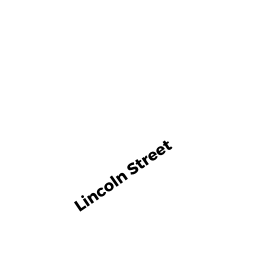
Single Family Residential owned by TURNER ROBERT M SR & - 285 LINCOLN STREET
Single Family Residential owned by HORNE CLIFFORD M & MARGARET H - 283 LINCOLN STREET
Single Family Residential owned by STEWART WILLIAM HAL - 10 BRIARWOOD CIRCLE
Single Family Residential owned by LUSSIER RYAN J & LESLIE A - 293 LINCOLN STREET
Single Family Residential owned by FREDERICKS REBECCA H K